

Understanding River Tyne Tides: An Explainer for Kayakers and Small Boat Users
The Tyne rewards a little homework. Between the piers at Tynemouth and the weir at Wylam, the river rises and falls twice a day, and it does not simply sit still between changes — it pushes one way for hours, pauses, then pushes back with real force. Kayakers and small boat users who understand that rhythm get easier paddles, more options and far fewer surprises. What follows is what the tide is actually doing on the estuary, and how to plan around it.
The shape of the tide on the Tyne
The Tyne runs a semi-diurnal pattern: two highs and two lows roughly every 24 hours and 50 minutes, so each tide arrives about fifty minutes later than the one the day before. Down at North Shields, the range is in the order of four to five metres on big spring tides and roughly half that on neaps. That difference matters more than the tide table heights. A two-metre neap is a gentle, manageable day; a big spring is a different river altogether, with faster streams, more water over the flats and a much bigger change in what fits under the bridges.
Two local quirks are worth knowing. First, the rise is not symmetrical — the water climbs quickly, flattens off around high water in what is often called the stand, then drops away. Second, the tide takes time to travel upstream. High water reaches Newcastle later than it reaches the piers, and later still further up. Use a tide table that gives corrections for the upper reaches rather than assuming one time fits the whole estuary.
Currents: direction, timing and where they bite
The flood runs west, upstream towards Newcastle. The ebb runs east, out to sea. In between there is slack water at the top and bottom of the tide, and the strongest streams occur around mid-tide — not at high or low water, which catches people out.
In the gorge at Newcastle, the channel narrows between the bridges and the ebb can carry you along faster than you expect. Eddies form behind pier bases and abutments; treat them as somewhere to pause or ferry across rather than somewhere to linger. After heavy rain in the catchment, the extra freshwater adds to the ebb and can blunt the flood, so a river in spate behaves quite differently from one that has been dry for a fortnight.
The entrance at Tynemouth
Between Tynemouth Pier and the South Groyne, the whole estuary empties twice a day. On springs the ebb here runs hard, and the Black Middens rocks on the north side of the entrance have caught out plenty of small boats over the years. Wind against tide is the real hazard: when a fresh easterly meets a strong ebb, the entrance turns into short, steep, unpredictable seas. If the wind is against the stream, either move well inside the harbour or wait it out. It is not a place to test your roll.
The estuary is a working port. Ferries, cargo ships, pilot boats and the Shields ferry all use the main channel, and they cannot stop. Cross the channel briskly and at right angles, keep clear of the marked fairway, make yourself visible, and carry a VHF radio if you have one — Channel 16 for distress, and check the port's current working channel and local notices before you go.
Bridge clearance and air draught
Clearance under every bridge on the Tyne changes with the tide, and on a spring tide the difference between high and low water is metres, not centimetres. If you are in a boat with a mast, an outboard on a tall bracket, or you are simply paddling in a swell, that gap matters.
- Check the charted air draught for each crossing — figures are usually quoted at a fixed datum, so a bridge advertised as having plenty of room at high water has a great deal more near low water.
- Where clearance boards or gauges are fitted to piers and abutments, read them. They exist precisely because the answer changes hour by hour.
- Use the span marked for navigation, not the nearest arch. In the gorge the bridges cluster together and the deepest, fastest water runs through the main span.
- Note that the Gateshead Millennium Bridge tilts and the Swing Bridge opens to let vessels through. Both have published operating procedures; check current notices to mariners rather than assuming you can pass whenever you arrive.
- Do not anchor over the riverbed where the tunnels cross the Tyne; those areas are protected.
Reading the tide tables properly
Most local tables are built around a standard port — for the Tyne that is effectively the North Shields area — with corrections for places upstream. A few habits reduce mistakes:
- Confirm whether times are given in GMT or British Summer Time. An hour's error is the most common cause of a plan going wrong.
- Apply the secondary port corrections for the stretch you are paddling, not just the entrance.
- Check the range as well as the times. A height of 4.5 metres and one of 2 metres produce very different days.
- Look at the wind and pressure forecast alongside the table. Sustained onshore winds and low pressure can shift heights and timing noticeably; predictions are a good guide, not a promise.
- Write down your two key moments — when the stream turns, and when you want to be at your crux point — before you leave the house.
Picking a safe launch window
Two patterns cover most trips.
Heading downstream, Newcastle to Tynemouth. Launch an hour or so before local high water and let the first of the ebb carry you down. Aim to reach the piers around slack, or tuck into the harbour if the ebb is still running. You will cover the distance with far less effort than on a flooding tide, and you will arrive with daylight to spare.
Heading upstream, Tynemouth to Newcastle. Launch roughly two hours after low water at the piers and ride the flood in. The river does the work; the bridges come to you. Time your finish for slack, or step out at a pontoon below the gorge rather than fighting the last of the stream between the bridges.
A short potter around the Fish Quay and the harbour is best in the two hours either side of high water, when there is most depth over the flats and the least current. For a first trip, pick a neap tide, a light westerly and no wind against tide at the entrance.
A short routine before you launch
Check the tide times and range, the wind forecast and the current port notices. Tell someone where you are going and when you expect to be back, and agree what happens if you are not. Wear a buoyancy aid, dress for immersion rather than for the car park, and carry a means of calling for help in a waterproof case. Watch the shipping, give way to anything commercial, and turn around before you are tired rather than after.
Harbour rules, byelaws and navigational notices for the Tyne change from time to time, so check the current Port of Tyne guidance before you go, and if any part of the plan is beyond your experience or your boat, paddle with a club or a qualified guide. Get the timing right and the Tyne is one of the friendliest tidal rivers in the country.
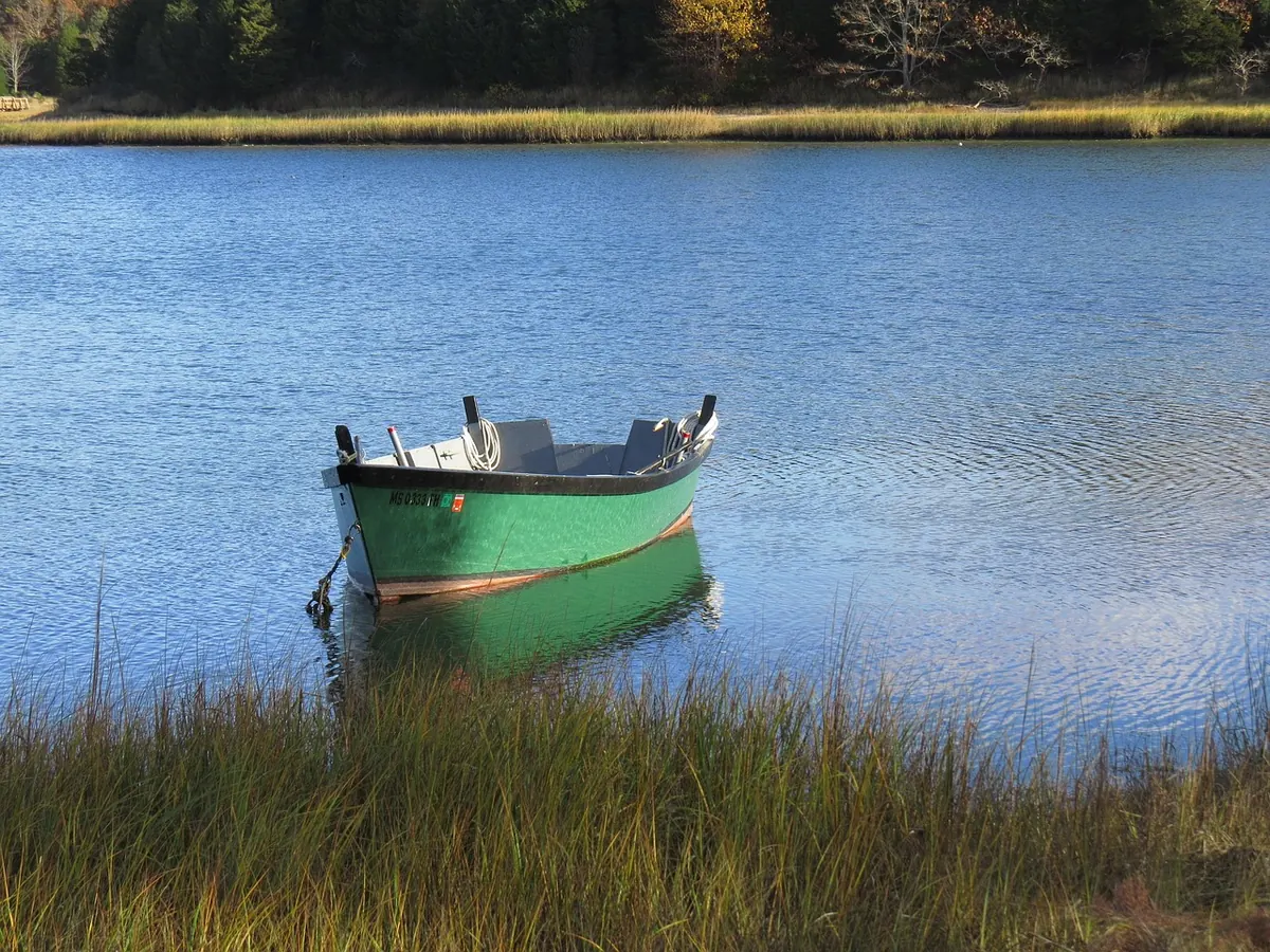
Photo: capecodprof / Pixabay